-
Latest Version
Google Earth Pro 7.3.6.10201 LATEST
-
Review by
-
Operating System
Windows 7 / Windows 8 / Windows 10 / Windows 11
-
User Rating
Click to vote -
Author / Product
Google Earth Pro is an advanced mapping and visualization tool developed by Google Inc. It is the professional version of the popular Google Earth application and is designed to cater to the needs of businesses, researchers, and enthusiasts who require high-quality geospatial data and advanced mapping capabilities.
The app is a feature-rich geospatial tool that allows users to explore the Earth's surface, oceans, and even outer space in unprecedented detail. It offers a wide range of functions for viewing, analyzing, and presenting geographical data. Originally, Google Earth Pro was a paid software, but Google made it FREE for personal use in 2015. Since then, it has become a valuable resource for professionals across various industries.
With Google Earth, you can fly from space to your neighborhood--just type in an address and zoom right in, search for schools, parks, restaurants, and hotels. Get driving directions, tilt and rotate the view to see 3D terrain and buildings, save and share your searches and favorites, and even add your own annotations.
From discovering shipwrecks on the ocean floor to zooming into 3D cities around the world, you can explore an expansive library of tours, videos, and imagery that have been created by the tool and supporting partners.
Highlights
3D Imagery
Take flight over entire metropolitan areas in 3D.
3D Trees
See 3D trees in parks, neighborhoods, and forests.
Historical Imagery
Travel back in time with historical imagery.
Ocean
Dive to new depths with Ocean in the tool tours.
3D Buildings
Explore 3D tours of buildings, cities, and famous landmarks.
Mars
Explore a new planet and view images from NASA.
Sky
Discover distant galaxies, constellations, and more.
Moon
Learn about the Moon and follow Apollo missions.
US Presidents
Learn about US presidents and tour their birthplaces.
Climate Change
Take narrated tours about the impacts of climate change.
Heroes of Google Earth
See how people are using the app to change their world.
Hubble Telescope
Browse these amazing images or fly to them in space. Download GoogleEarth Offline Installer Setup!
Favorite Places
Discover exciting places shared by global trendsetters.
UNESCO
Take a virtual walk around natural and cultural landmarks.
Liquid Galaxy
Build your own galaxy for your environment.
Key Features
High-Resolution Imagery: It provides access to high-resolution satellite imagery and aerial photography, allowing users to zoom in on locations with remarkable clarity.
Historical Imagery: Users can access historical satellite imagery, enabling them to view changes in landscapes over time, making it a valuable tool for historical research and environmental studies.
3D Models and Tours: Create and share 3D models and guided tours of geographic locations, enhancing the ability to communicate spatial information effectively.
GIS Data Import: It supports importing GIS (Geographic Information System) data in various formats, making it an essential tool for geospatial professionals.
Measurement Tools: Measure distances, areas, and heights accurately with built-in measurement tools, aiding in land surveying and urban planning.
Drawing and Annotation: Annotate maps with text, lines, shapes, and images to create custom maps or mark important locations.
Printing and High-Resolution Output: The app allows users to print high-quality images and export data in different formats for presentations and reports.
Pro License Features: While the software is FREE for personal use, it offers additional features for professional users, including batch geocoding, video creation, and access to premium layers.
User Interface
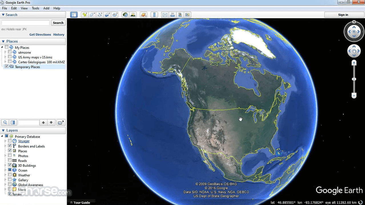
It features an intuitive and user-friendly interface. The main window consists of a 3D globe that can be navigated using the mouse and keyboard. The toolbar at the top provides easy access to various tools, including search, navigation, drawing, and settings. The layers panel on the left allows users to toggle different data layers, such as roads, borders, and geographic features.
Installation and Setup
Installing Google Earth Pro is straightforward. Users can download the installer from the official Google Earth website. The installation process is guided and requires accepting the terms of service and specifying installation preferences. Once installed, users can launch the application and sign in with their Google account or use it in offline mode for basic functionality.
How to Use
Navigation: To navigate the globe, simply click and drag with the mouse to pan, scroll the mouse wheel to zoom in and out, and use the arrow keys for finer control.
Search: Use the search bar to find specific locations, addresses, or coordinates. It will automatically fly to the selected location.
Layers: Explore different data layers by enabling or disabling them in the layers panel. You can display roads, borders, 3D buildings, and more.
Measurement Tools: Access the measurement tools from the toolbar to measure distances, areas, and heights. Click on the "Ruler" or "Path" tool to get started.
Drawing and Annotation: Click on the "Add Path" or "Add Polygon" tool to draw shapes on the map. You can also add placemarks with labels and descriptions.
Historical Imagery: Access historical imagery by clicking the "Clock" icon in the toolbar. This feature allows you to view changes over time.
FAQ
Is Google Earth Pro still FREE to use?
Yes, the program is FREE for personal use. However, some advanced features are available to paid subscribers.
Can I import my own GIS data into Google Earth Pro?
Yes, it supports importing GIS data in various formats, such as KML, KMZ, and Shapefiles.
What are the system requirements for Google Earth Pro?
Google Earth Pro is compatible with Windows, macOS, and Linux operating systems. It requires a relatively modern computer with a dedicated graphics card for the best performance.
How can I create a guided tour in Google Earth Pro?
To create a guided tour, go to the "Tools" menu and select "Tour Builder." You can add placemarks, narration, and transitions to create an engaging tour.
Can I use Google Earth Pro offline?
Yes, you can use the app in offline mode to view previously loaded maps and data. However, some features may require an internet connection.
Alternatives
QGIS: An open-source GIS application that offers a wide range of features and is suitable for both beginners and experts.
Global Mapper: Must-have GIS app for anyone who works with maps or spatial data!
Bing Maps: Microsoft's Bing Maps offers mapping and location-based services, with features similar to Google Maps.
Pricing
Google Earth Pro is available for FREE for personal use.
System Requirements
Minimum:
- Operating System: Windows 7
- CPU: 1GHz or faster
- System Memory (RAM): 2GB
- Hard Disk: 2GB available space
- Internet Connection
- Graphics Processor: DirectX 9 or OpenGL 1.4 compatible
- Operating System: Windows 7 or higher
- CPU: 2GHz dual-core or faster
- System Memory (RAM): 4GB
- Hard Disk: 4GB available space
- High-Speed Internet Connection
- Graphics Processor: DirectX 11 or OpenGL 2.0 compatible
- High-quality satellite imagery and historical data.
- Advanced mapping and measurement tools.
- Support for importing GIS data.
- Customization and annotation features.
- Free for personal use.
- Some advanced features require a paid subscription.
- High system requirements for optimal performance.
- Not suitable for real-time tracking or route planning.
- Requires an internet connection for some features.
Google Earth Pro is a versatile and powerful geospatial tool that offers a wide range of features for mapping, visualization, and analysis. Its high-quality imagery, historical data, and measurement tools make it a valuable resource for professionals in various fields, from urban planning to environmental research.
While some advanced features come with a subscription cost, the free version remains accessible for personal use, making it a valuable addition to anyone interested in exploring our planet's beauty and complexity. Whether you're a researcher, educator, or enthusiast, Google Earth Pro is a tool worth exploring for its wealth of geospatial data and capabilities.
Also Available: Download Google Earth for Mac
-
Google Earth Pro 7.3.6.10201 Screenshots
The images below have been resized. Click on them to view the screenshots in full size.
-

-

-

-

What's new in this version:
Google Earth Pro 7.3.6.10201
- Change log not available for this version
Google Earth Pro 7.3.6.10155
- Change log not available for this version
Google Earth Pro 7.3.6.9796
- Change log not available for this version
Google Earth Pro 7.3.6.9796
- Change log not available for this version
Google Earth 7.3.6.9750
- Change log not available for this version
Google Earth 7.3.6.9345
- Change log not available for this version
Google Earth 7.3.6.9326
- Change log not available for this version
Google Earth 7.3.6.9285
- Change log not available for this version
Google Earth 7.3.6.9277
- Change log not available for this version
Google Earth 7.3.6.9275
- Change log not available for this version
Google Earth 7.3.6.9264
Movie Maker tool:
- Hardware-accelerated video encoding for faster processing and better image quality
- HEVC (H.265) codec support
- Full navigation controls, including Historical Imagery and Street View, available in live recording mode
- Better responsiveness during live recording
- Can defer video encoding until after live recording is finished
- In live recording mode, less obtrusive recording status dialog
- Live recordings accurately show the timing of user actions during the recording session
- Save video frames in QOI image format
- Break apart a Multi Geometry place mark into individual place marks
- Combine multiple selected place marks into a single Multi Geometry place mark
- Import GeoJSON files
- Improved printing tool quality
Save Image tool:
- Increased maximum image size
- PNG format support
- Adjusted Google Earth logo size in main view, saved images, and printouts
- Automatically support high-DPI displays
- Regionate tool supports KML Schema extended data
- Consistently save KML files with no changes from session to session
- Correctly import CSV files with values that contain quotation marks
- Edit KML LinearRing place mark line style
- Other minor fixes and improvements
Google Earth 7.3.4.8642
- Change log not available for this version
Google Earth 7.3.4.8573
- Fixes for 3D controller devices on Mac and Windows
- Resolves navigation bugs in Street View mode
- Fixes distorted rendering of Street View imagery
- Improved support of new map layers
- Faster import of GeoTIFF files
- Accurate stars and night sky background positions
- Improved compatibility with recent Linux versions
- Security updates and fixes
- Other fixes and enhancements
Google Earth 7.3.4.8248
- Change log not available for this version
Google Earth 7.3.3.7786
- Change log not available for this version
Google Earth 7.3.3.7721
- Change log not available for this version
Google Earth 7.3.3.7699
- Change log not available for this version
Google Earth 7.3.3.7692
- Updated Street View experience
- Enhanced plus code search results
- Shift+right-click on map displays plus code
- "View in Google Earth on Web" button opens the current view in Google Earth on web
- When you add a photo to a placemark, the placemark can be automatically repositioned to the GPS location of the photo
- Fixes connectivity issues sometimes seen after reconnecting to WiFi
- GPS imports now support GeoJSON format
- Addresses security vulnerabilities CVE-2020-8895, CVE-2020-8896
- Other minor fixes and updates
Google Earth 7.3.2.5776
- Change log not available for this version
Google Earth 7.3.2.5495
- Change log not available for this version
Google Earth 7.3.2.5491
- Change log not available for this version
Google Earth 7.3.2.5487
- Change log not available for this version
Google Earth 7.3.2.5481
- Places panel: multiple-item selection, moving, deletion; performance improvements
- Network security updates and fixes; improved certificate support
- CSV import improvements: support older Mac file formats, multi-line text fields
- Ground overlay editor: fix glitchy rotation, rotation handle positioning
- Print preview: fixed mouse-wheel zooming, display refresh problems
- International languages: fix missing translations, keyboard shortcuts, UI elements
- Tables tool: improved stability, layout, data synchronization
- Tour Guide is hidden by default, reflecting Earth Pro use case
- Windows: allow Earth to run concurrently in multiple user sessions
- Windows: improved appearance on high-resolution monitors
- Windows 64-bit fixes: joystick support; crash when hiding 3D buildings; COM application (e.g. Garmin BaseCamp) interface
Google Earth 7.3.1.4507
- Change log not available for this version
Google Earth 7.3.1.4505
- Change log not available for this version
Google Earth 7.3.0.3832
Issues fixed in this release of Google Earth Client:
- Terrain imagery tiles missing in some locations
- Tour audio recording and playback not working
- Tours with recorded audio not correctly saved
- Crash when loading large KML data files
- Drag-and-drop files into application window not working
- Can't open KMZ files from a path with ".kmz" in it
- Skyscrapers cut off when saving high-resolution images
- COM registration not performed by Windows installer
- Some images embedded in KML don't load
- Anisotropic filtering option has no effect
- Startup Tips sometimes incorrectly positioned
- Labels in Arabic were often cut off
Changes:
- Earth "Free" and Pro have now been combined into a single product, Earth Pro
- Windows: Windows 7 is earliest version supported
- Windows: new installs default to OpenGL mode
- Mac: Mac OS 10.8 is earliest version supported
- Mac: application is now 64-bit
- Mac: antialiasing option is now available
- High-resolution ("high-DPI", "Retina") display support
- New Repair Tool to reset cache data, settings, and fix application startup issues
- Updated Movie Maker tool with new video formats
- Improved image saving, printing and movie making performance
- Web Inspector tool available for KML balloons
- HTML5 videos such as YouTube embeds work in placemark balloons
- Updated and improved internal Web browser and security
Known Issues:
- "Share with Google+" feature not working
- SSL client certificates not currently supported
- Toolbar buttons, UI icons pixelated in high-DPI mode
- Windows: high-DPI support isn't enabled until pixel scale is 200% or higher (use googleearth2x.bat to force high-DPI mode)
Google Earth 7.1.8.3036
- Change log not available for this version
Google Earth 7.1.7.2606
- Earth Pro stops refreshing content after a few minutes
Google Earth 7.1.7.2600
- Removed menu items for Google Maps Engine and the Google Earth Community.
- New Google and Google Earth logos.
- Crashes from rearranging items in My Places.
- Earth Pro: Removed registration dialog as Pro no longer requires a license.
- Windows: “1603” installer error caused by attempts to re-install Earth 7.
- Linux: Font dialog and other crashes.
- Linux: Cache data inconsistency between 32 and 64-bit builds.
- Linux: RPM installer problems with permissions in directory “/usr/bin”.
- Mac & Linux: Updated driver support for 3Dconnexion controller devices.
Google Earth 7.1.5.1557
- Change log not available for this version
Google Earth 7.1.4.1529
- Change log not available for this version
 OperaOpera 120.0 Build 5543.38 (64-bit)
 SiyanoAVSiyanoAV 2.0
 PhotoshopAdobe Photoshop CC 2025 26.8.1 (64-bit)
 BlueStacksBlueStacks 10.42.86.1001
 CapCutCapCut 6.5.0
 Premiere ProAdobe Premiere Pro CC 2025 25.3
 PC RepairPC Repair Tool 2025
 Hero WarsHero Wars - Online Action Game
 SemrushSemrush - Keyword Research Tool
 LockWiperiMyFone LockWiper (Android) 5.7.2
Comments and User Reviews